




The road from Tawang to Bum La Pass climbs through what feels like the set of a geography textbook — each kilometre adding altitude and removing vegetation, the land becoming progressively more spare and vast until the pass itself appears as a ridge of bare stone and prayer flags at 4,700 metres, where the wind arrives from Tibet without obstruction and the Chinese Army bunkers are visible on the other side of the boundary wire.
Bum La Pass, 37 kilometres from Tawang, is India’s highest motorable road to the China border — higher than Nathu La Pass in Sikkim by approximately 400 metres — and the northernmost point that Indian civilians can reach in the Tawang district before the Line of Actual Control bars further progress.
But the approach to the pass is as remarkable as the pass itself. The route from Tawang passes through Sangetsar Lake (also known as Madhuri Lake or PTSO Lake) — a high-altitude lake of extraordinary beauty at approximately 3,708 metres, whose turquoise water against the raw mountain landscape stops most travellers before they even register that Bum La is their destination.
Above Sangetsar Lake, the road climbs further into a landscape that the 1962 Sino-Indian War has layered with history: the retreating Indian forces passed through here, the Chinese advance was made across this terrain, and the peace that followed took decades to formalise into the Border Personnel Meetings that now occur at Bum La four times a year.
Quick Facts About Bum La Pass
| State | Arunachal Pradesh |
| District | Tawang |
| Altitude | 4,700 metres (15,420 feet) |
| Distance from Tawang | 37 km; approximately 2 hours by road |
| Border Status | Line of Actual Control (LAC) between India and China |
| 1962 War Significance | Key axis of Chinese advance and Indian retreat during the Sino-Indian War |
| Border Personnel Meeting | India and China hold BPMs at Bum La — one of five official BPM points on the China-India border |
| First BPM at Bum La | 1993, following the signing of the Peace and Tranquility Agreement |
| Permit | Indian nationals only — Inner Line Permit + Special permit from Tawang DC office; foreign nationals NOT permitted |
| Timing | Open approximately 9 AM to 3 PM; closed in heavy snow (December to March often inaccessible) |
The History of Bum La Pass— War, Withdrawal, and Peace
The 1962 War — India’s Most Painful Retreat
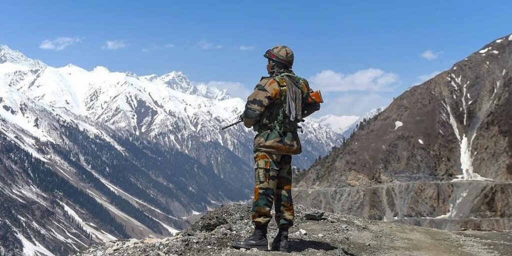
October 1962. The Chinese People’s Liberation Army launched its offensive in the Western (Ladakh) and Eastern (NEFA — now Arunachal Pradesh) sectors simultaneously. In the eastern sector, the main Chinese thrust came through Se La (Sela Pass) and directly across the high ridges to the north of Tawang. The Indian forces at Tawang were flanked, the Se La position untenable, and the order for withdrawal was given. Indian troops retreated through Tawang toward Bomdila and further south. Chinese forces advanced and briefly occupied Tawang.
The ceasefire came on November 21, 1962, and the Chinese forces withdrew to the line they had held prior to 8 September 1962 — a unilateral withdrawal that has been interpreted variously as strategic, diplomatic, and logistical. The 1962 war remains the most painful single episode in post-independence Indian military history, and its geography — the high passes of Tawang, the Se La ridge, the route from Bum La to Tawang — is a living memory in the communities of Arunachal Pradesh and the Indian Army units that serve here.
The Border Personnel Meetings
The 1993 Agreement on the Maintenance of Peace and Tranquility along the Line of Actual Control designated five Border Personnel Meeting points between India and China — locations where the two armies hold formal flag meetings to discuss border management. Bum La is one of these five points. The meetings occur four times a year (in some periods) and are conducted with the formal protocol of military diplomacy: each side is represented by an officer, refreshments are exchanged, and the meeting proceeds in a specific ritual sequence that turns potential confrontation into organised communication.
Visitors who time their arrival at Bum La Pass to coincide with a BPM witness one of the most extraordinary scenes in the Indian military landscape — Indian and Chinese soldiers conducting formal courtesy across the wire at a border that was fought over bitterly within living memory. The next BPM date is obtainable from the Tawang DC office when processing the permit.
| Permit reality: Bum La Pass requires not only an Arunachal Pradesh ILP but a special inner line permit specifically for the Bum La circuit, issued by the District Collector’s office in Tawang. This additional permit is available only to Indian nationals — foreign nationals are not permitted under any circumstances. The permit specifies the exact date of visit and requires a registered tour operator or army-authorised vehicle. Process permits at least 24 hours in advance at the Tawang DC office. Source: tawangtourism.com; arunachaltourism.com. |
Sangetsar Lake (Madhuri Lake / PTSO Lake) — The Most Beautiful Detour
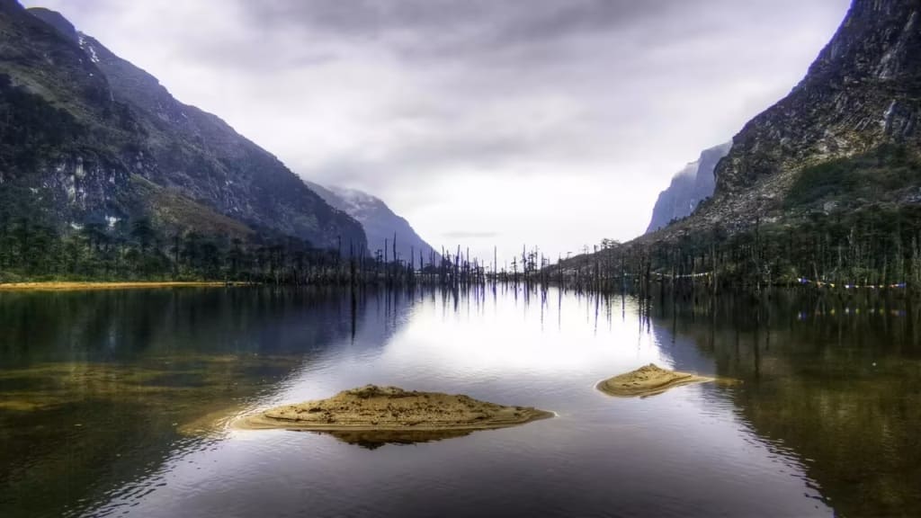
The route from Tawang to Bum La passes Sangetsar Lake at approximately 3,708 metres — a high-altitude lake known in tourist literature as Madhuri Lake (named after Bollywood actress Madhuri Dixit, who filmed a song sequence here in the 1997 film Koyla) and officially as PTSO Lake. The lake deserves more than its Bollywood association suggests: a wide, turquoise expanse against the stark mountain landscape, with the Kangchenjunga massif visible on clear days and the prayer flags of the road trembling above the water.
- Altitude: 3,708 metres (12,162 feet)
- The 1962 earthquake reshaped the landscape around the lake, creating the unusual combination of water and mountain that characterises the site
- Yaks graze around the lake perimeter in summer — the pastoral and the alpine combined
- Photography: the lake is best in morning light (9–11 AM) before haze builds
- No overnight stay possible at the lake — day visit only
At the Pass — What You See
- The boundary markers and wire — The physical demarcation of the India-China LAC; Indian and Chinese boundary stones visible
- Chinese Army positions — Bunkers and infrastructure visible on the Chinese side; observe without pointing or photographing (photography is restricted near the border)
- Prayer flags — On the Indian side, the pass is festooned with Buddhist prayer flags — a visual statement of the Tawang valley’s spiritual identity
- The view into Tibet — On clear days, the Tibetan plateau extends to the north — visually different from the Arunachal side; more arid, wider, and lower
- Temperature — At 4,700 metres, the temperature at the pass can drop sharply at any season; carry warm, wind-proof layers regardless of the conditions in Tawang
Altitude Precautions
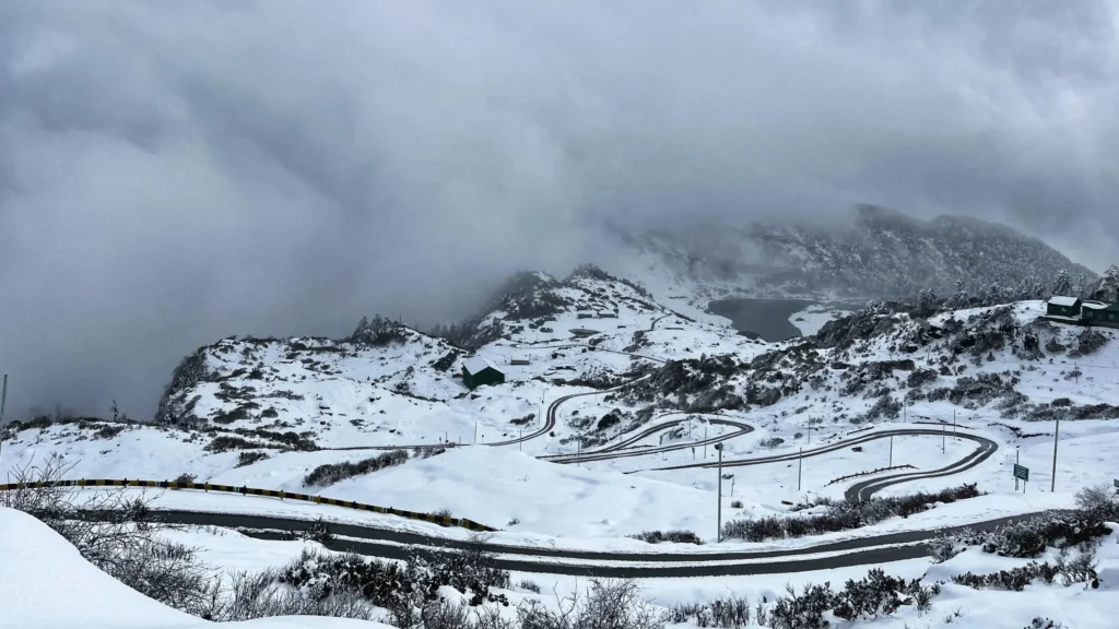
The drive from Tawang (3,048 metres) to Bum La (4,700 metres) is a climb of 1,652 metres in approximately 37 kilometres — one of the fastest altitude gains on any motorable road in India. Most visitors experience headache and shortness of breath at the pass. The standard precautions apply:
- Limit time at the pass to 30–45 minutes; descend if symptoms worsen
- Drink water before and during the ascent
- Acclimatise to Tawang (3,048 m) for at least one full day before attempting the Bum La circuit
- Carry pain relief medication for altitude headache
- No running or strenuous physical activity at the pass
How to Reach Bum La Pass
- From Tawang: 37 km; approximately 2 hours by road through high-altitude terrain. Route passes Sangetsar/Madhuri Lake.
- Vehicle: Only registered operator vehicles with the Bum La permit may proceed to the pass — no private vehicles. Hire through registered Tawang operators.
- Permit: Tawang DC office; process at least 24 hours before visit; Indian nationals only.
Also Read: How to Apply For Travel Permits for Traveling to Northeast India
Best Time to Visit
- May to October: Pass generally accessible; May–June for maximum clarity; September–October for post-monsoon clear skies
- April: Snow may still be present on the road; access possible but verify locally
- November to March: Heavy snowfall typically closes the road; Bum La circuit not recommended
